Insights
Understanding one’s location in the world is a fundamental survival skill, and like many species,
humans are naturally equipped with brain regions designed to create cognitive maps of our
environment. However, what sets humans apart, with the possible exception of honeybees, is our
ability to communicate our understanding of geography through the creation of maps. This
practice dates back thousands of years, with the earliest known maps found on cave walls,
estimated to be 14,000 years old. Since then, human cultures have drawn maps on various
surfaces, including stone, papyrus, paper, and now digital platforms.
Despite the long history of map-making, it is only in the last few centuries that maps have
consistently depicted north at the top. According to map historian Jerry Brotton, this orientation
was not common in the past. “North was rarely put at the top for the simple fact that north is
where darkness comes from,” Brotton explains. He adds that west was also seldom placed at the
top because it is where the sun sets, another symbol of darkness and the unknown.
Interestingly, early Chinese maps seem to contradict this trend. While the Chinese had access to
compasses, their decision to place north at the top of their maps was not due to compass
orientation. In fact, early Chinese compasses were designed to point south, a direction
considered favorable compared to the bleak north. In Chinese culture, the emperor, who resided
in the north, was placed at the top of maps, symbolizing his position of authority. The emperor
would look south, the source of favorable winds, while his subjects, positioned beneath him,
would gaze upward toward his position. As Brotton explains, “North is not a good direction, but
you are in a position of subjection to the emperor, so you look up to him.”
Given that each culture had its own ideas of whom or what to revere, it is not surprising that early
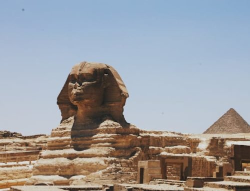
maps lacked a consistent directional orientation. For example, in ancient Egypt, the top of the
world was east, where the sun rises. Early Islamic maps often placed south at the top, as many
Muslim societies were located north of Mecca, meaning they looked southward towards their
holy city. Similarly, Christian maps from the same period, known as “Mappa Mundi,” oriented east
at the top, symbolizing the Garden of Eden, with Jerusalem at the center.
So, when did north become the standard for the top of maps? While it might be tempting to
attribute this shift to European explorers like Christopher Columbus and Ferdinand Magellan,
who navigated using the North Star, Brotton contends that these explorers did not think in such
terms. “When Columbus describes the world, it is in accordance with east being at the top,”
Brotton explains. “Columbus says he is going toward paradise, so his mentality is from a
medieval mappa mundi.” During that time, Brotton reminds us, “no one knows what they are
doing or where they are going.” Thus, the eventual convention of placing north at the top of
maps emerged gradually, rather than from any single exploration or discovery.